Sinai, the Mountain
The Bible does not provide enough details to identify the mountain with certainty. The certainty of its identification depends on two main factors; it must fit appropriately the itinery of the exodus as it is given us in the books of Exodus and Numbers, and it must also be located with a plain large enough at its foot to accomodate the number of Israelites estimated to have left Egypt with Moses. While a number of mountains in the region have been suggested, including Jebel Helal (northern Sinai Peninsula), Jebel Sin Bisher (east-central Sinai Peninsula), Jebel Serbal (southern Sinai Peninsula) and even el-Khrob (in modern Saudi Arabia), the one that has claimed the widest acceptance, since at least the 4th Cent AD, is Jebel Musa (2288 m asl) near St Catherine in the Sinai Peninsula.

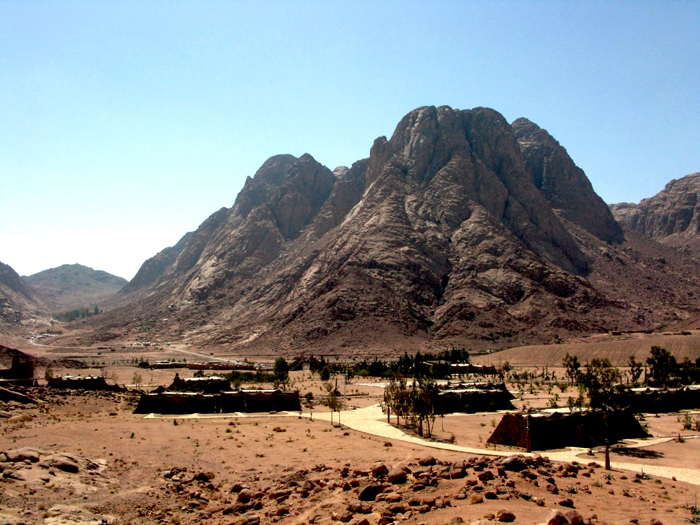
Ras Safsafa at the front end of Mount Sinai, St Catherine,
and the plains of El-Raha and Wadi el-Deir at its foot.
Thomas V. Brisco suggests several factors suggesting why it should be located in the region of St Catherine.
First, Exodus 13:17 warned against travel by the "way of the land of the Philistines." This route, which hugged the northern coast, was the major military route used by the pharaohs and was heavily garrisoned. As part of the great trunk route—the International Coastal Highway—this road would be watched closely by the Egyptians. Second, Deuteronomy 1:2 locates Mount Sinai as an eleven-day journey from Kadesh-barnea, a note that fits best with a Mount Sinai located somewhere in the southern peninsula. Third, the Israelites lost the exact location of Mount Sinai after 850 B.C. when Elijah fled to the mountain. Had the holy mountain been located in the more frequented regions of the north, surely its location would be remembered. Finally, a few sites mentioned on the journey from Mount Sinai to Kadesh-barnea suggest a southern route if the several tentative identifications are plausible. For example, Dizahab (Deut 1:1) arguably is modern Dahab located on the southeastern coast of Sinai. Jothbathah (Num 33:33) may be identified with the Oasis of Taba a few miles south of Ezion-geber (Tell el-Kheleifeh).
Thomas V. Brisco, Holman Bible Atlas (Nashville, TN: Broadman & Holman, 1998), 67.

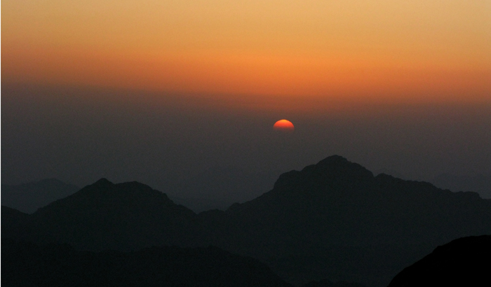
Sunrise at the peak of Jebel el-Musa.


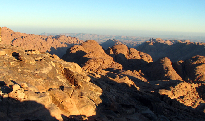
The view from the peak of Jebel el-Musa.

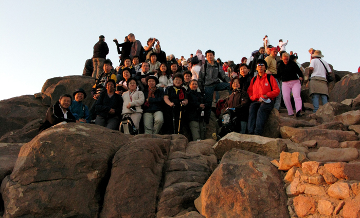
Crowds of pilgrims and tourists on Jebel el-Musa.

Low Chai Hok
©Alberith, 2015